Geospatially Enabled Augmented Reality
Are we Living in a simulation? Maybe soon enough we can! Before the walls went up and construction of IG Labs was made a reality, we were given a glimpse of the grand vision with virtual reality. Thanks to modern technology, we were able to walk through and see what would eventually become our own personal “Tech Shangri La”. But outside of being a neat toy for the digital age, what are the practical uses of this kind of technology?

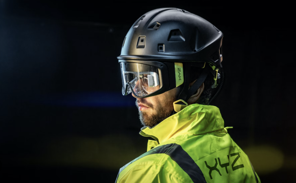
One commercial company seeking to answer that in a meaningful way is XYZ Reality™. Their HoloSite augmented reality (AR) system is designed to bring the virtual world of a designer’s program and overlay it onto the world we see in front of us. This technology allows construction and design crews to fuse the visual benefits of AR with the precision of Geospatial Information Systems (GIS) to map designs to their physical locations with pinpoint accuracy. Using GIS, XYZ Reality™ can bring construction projects to life with millimeter accuracy in a 1:1 scale overlay in a real-time augmented reality projection displayed in their AR enabled HoloSite helmet. These innovations have already proven their worth by allowing construction and inspections to be done in a proactive manner as opposed to the traditional reactive sense. This of course saves time and money for the companies employing this technology!
This technology has only just begun to be tapped for its full potential, and I believe that GIS and AR could begin to shape our daily lives and the way we interact with our surroundings. We have already seen automobile manufacturers leaning forward into this technology to introduce AR enabled windshields to assist with navigation by displaying turns and lane recommendations based on your GPS. Perhaps in the future we will be able to use AR glasses and GPS locational data to read restaurant reviews for that bakery you just walked by. Perhaps we could use this technology to allow SCUBA divers to navigate reefs and shipwrecks as they dive. The possibilities are practically endless when it comes to how we can marry the technological benefits of AR and GIS.

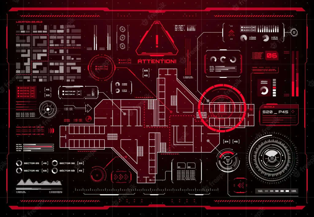
However, beyond saving money and making day to day life more exciting, could a technology like this be used to save lives? With most building blueprints, water, electrical, and gas line diagrams, etc. being available through a city’s public works archives, could this information be incorporated into a similar augmented reality database that would enable a higher degree of safety for emergency services? Could a firefighter be able to view a heads-up-display (HUD) map of a building full of smoke and better navigate through an otherwise unknown labyrinth? Could that same firefighting crew examine a wall and identify the best place to cut through to avoid the electrical or gas lines and decrease the chance of further complicating a rescue?
What about the applications of this technology on the battlefield? With HUD displayed maps, and the addition of inputs from tactical ISR platforms, troops on the frontline could more quickly and accurately assess friendly locations as well as the best tactical routes for moving in a tense scenario. With first person shooter style video games being so popular, and the concept of having informational displays being the norm, is it really that big of a leap to imagine the soldier of the future using this technology to take the fight to the enemy?
Knowledge is power, but access to that knowledge is what turns that power into a tool. I believe that augmented reality, along with the geospatial data around us is going to be the next powerful tool in building the world of tomorrow and the future that we are already living in! I personally hope to be able to build that world as a safer more enabled place to live, and I am excited to be at the dawn of this technologic age. So, where do you see the future of AR mapping and precision overlayed reality?